IMMERSIVE DATA VISUALIZATION
Powered by Digital Twin Technology
Welcome to Techvista’s Digital Twin Solutions. Experience engineering-grade digital visualization built from real-world drone and geospatial data. Our Digital Twin platform transforms physical assets into intelligent 3D environments for inspection, analysis, and informed decision-making. Discover how Techvista enables organizations to visualize, understand, and manage assets with greater accuracy, efficiency, and confidence.
Advantages of Digital Visualization

Engagement
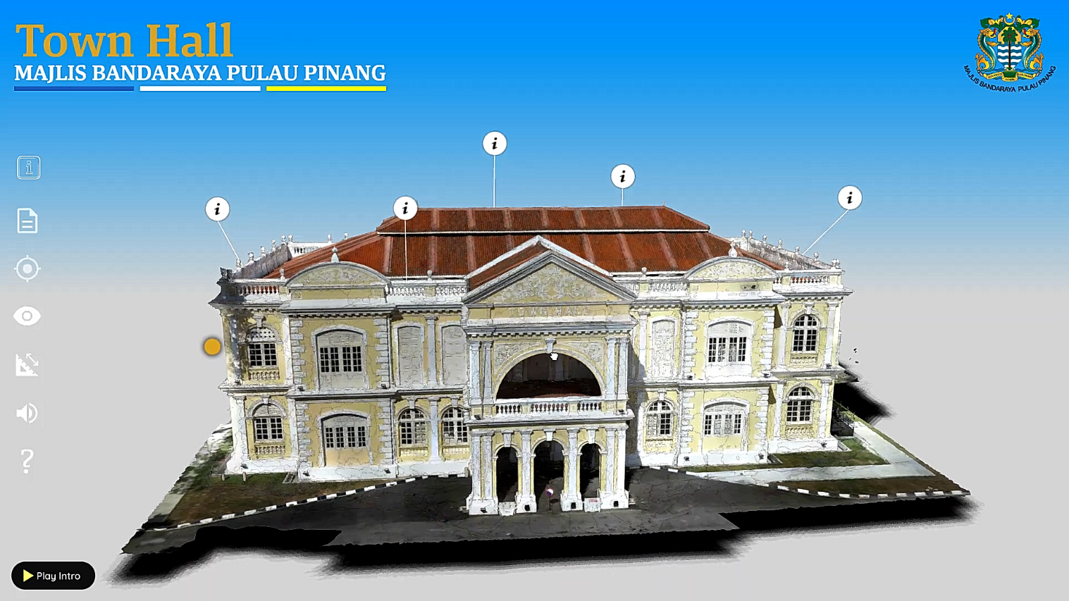
360 virtual tours are more engaging than traditional video and photo content. It allows the viewer to be in control of their experience, leading to a higher retention rate.

Informative
Interactive elements of a 360 virtual tour allows for an enhanced and informative experience. This can provide visual support for your product information, leading to better understanding and decision making.

Shareable
Virtual tours can be easily shared on a variety of platforms like social media, email, and websites and are more likely to be shared by users due to their immersive and engaging content.
About us
Techvista is a leading digital reality company that specializes in cutting-edge solutions such as 3D object development, 360 virtual tours, aerial photogrammetry, as-built data capture, virtual reality, and augmented reality.
At Techvista, we are passionate about digital reality and believe that it has the power to transform the way we experience the world around us. Our team of experts has years of experience in developing custom solutions for a wide range of clients across various industries, including real estate, tourism, oil & gas, and more.
What We Do
Services
Our 3D object development services allow us to create lifelike, detailed models of objects and environments that can be used in games, simulations, and other applications. With our 360 virtual tours, we can provide immersive, interactive experiences that allow users to explore spaces and environments in stunning detail. Our aerial photogrammetry services enable us to capture high-resolution aerial maps and images, providing valuable data for a range of industries.
Training
Unlock the skies with expert drone training and data management solutions. We specialize in guiding individuals and teams through both basic and advanced drone piloting skills. Our training covers everything from essential pre-flight prep to smooth flying, meticulous post-flight steps, and smart maintenance and storage techniques. Whether you’re into aerial surveys, monitoring, inspections, progress reporting, or heritage preservation, our seasoned instructors will equip you to handle complex tasks with precision.
Certification
Unlock the next level of your drone proficiency with our certification program of Sijil Kemahiran Malaysia (SKM) Level 2 and 3. Designed to meet industry standards and regulations, these programs not only polish your piloting skills but also elevate your credibility in the drone community. Our certification is a mark of distinction, showcasing your commitment to professionalism and mastery.
