SERVICES > Aerial Works
AERIAL WORKS
Drone technology has revolutionized the way we explore and capture our world from above. Join us a journey to discover the vast world of aerial works using drones.
High-Quality Drone Services for All Your Needs
We provide top-notch drone services for 2D and 3D mapping, LiDAR mapping, aerial photo and videography, thermal inspection, building facade inspection, and environmental monitoring. Our skilled team uses the latest technology to capture stunning imagery and accurate data to meet your specific needs.


2D and 3D Mapping
Application
Our 2D & 3D mapping services are useful for a variety of projects, including infrastructure planning, urban planning, construction, and more.
Equipment
We use advanced drone technology to capture precise data and create maps, including photogrammetry and remote sensing equipment.
Benefits
Our mapping services allow you to make informed decisions and plan effectively, reducing costs, and improving efficiency.
LiDAR Mapping
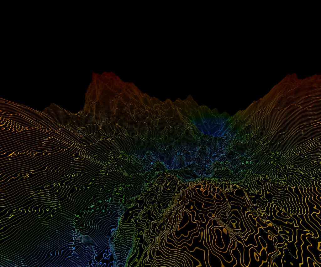
We provide cutting-edge LiDAR mapping services to capture accurate and high-resolution digital terrain models, which help you get precise measurements and detailed information about nearly any space.

What is LiDAR?
LiDAR stands for Light Detection and Ranging. It’s a technology that uses laser light to create a highly detailed, 3-dimensional map of an area.
Our LiDAR Services
- We use top-of-the-line equipment to capture precise data.
- We can capture data on a variety of surfaces and landscapes.
- We provide detailed reports with easy-to-understand analytics.
Aerial Photography and Videography
Our drone aerial photography and videography services give you a completely different perspective of your project. Our team has years of experience capturing stunning visuals from the air and creating videos and photographs that showcase your project like never before.

Benefits
Our aerial photography and videography service allows you to: view the property and surroundings from unique angles, inspect hard to reach areas, document your progress, and more.

Applications
Our services are ideal for a variety of projects, including real estate photography, wedding events, tourism, commercials, and more.

Equipment
Our team uses advanced drone technology, including drones equipped with high-resolution cameras and capable of capturing high-quality video footage.
Thermal Inspection
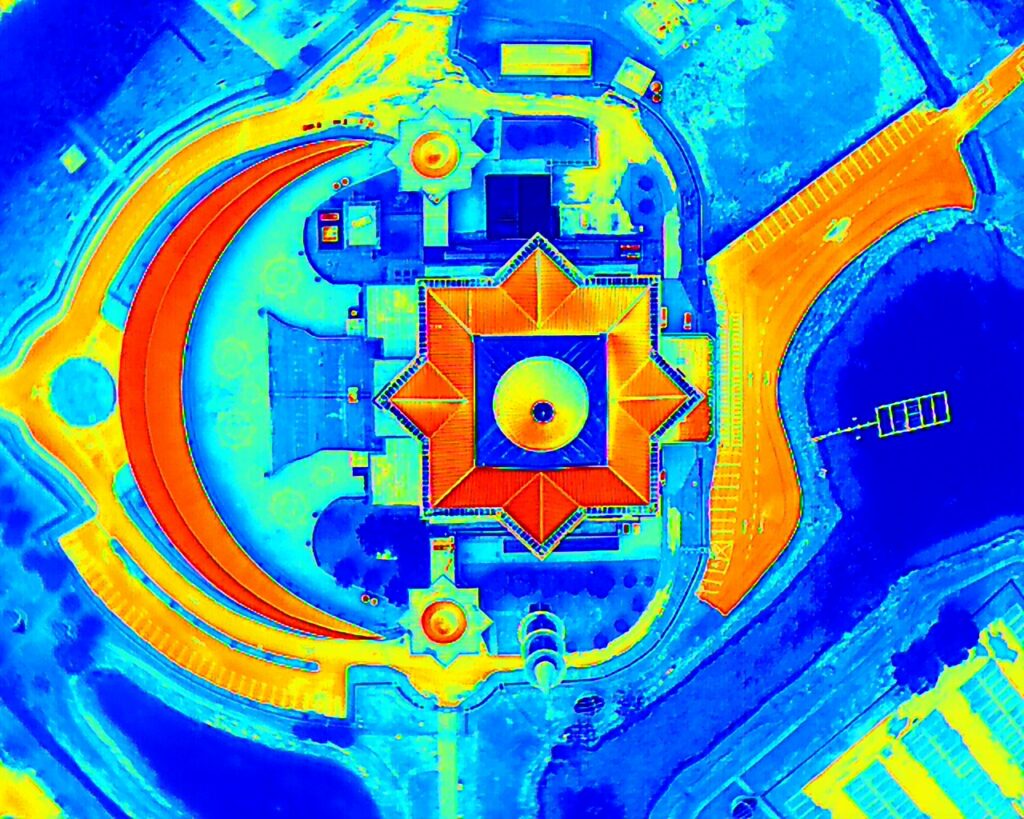
We provide thermal inspection services using drones to assess insulation, roofing, and building envelops. Our advanced thermal cameras deliver precise imagery with the highest resolution to capture any kind of temperature difference with every detail
Applications
Our services are ideal for a variety of industries – ranging from commercial construction, energy & utilities, research & development to environmental, public safety, and more.
Key Benefits
- Non-destructive, fast and safe inspection process.
- Pre-Identify water leaks, electrical errors, or other structural issues.
- Takes high-resolution images and reports.

Building Facade Inspection
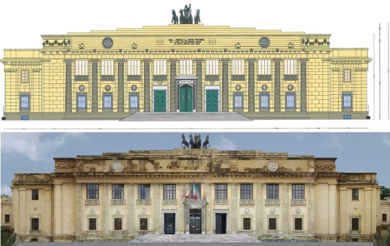
Our building facade inspection services are essential when you want to check the condition of your building’s exterior without having to resort to scaffolding, lifts, and other expensive equipment.

Timely detection of issues
Our drone inspection can detect and alert you to maintain or repair before costly issues arise quickly.
Efficient and cost-effective
We can gain access to nearly any hard-to-reach spot and because drones are lightweight, portable, and flexible, they avoid the high cost of traditional methods, such as scaffoldings or lifts.
State-of-the-art equipment
We utilize the latest drone technology to produce high-quality images from unique and multiple angles, ensuring that every detail is captured.
Environmental Monitoring
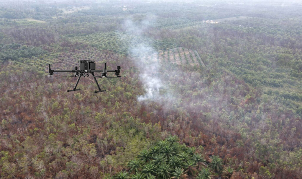
Our environmental monitoring services measure air, water, and noise pollution with extreme speed and accuracy. Access data to environmental monitoring with drones that provide high-quality aerial imagery to assess the condition of your environment quickly and accurately.

Applications
Our services are suitable for a variety of industries – ranging from environmental conservation, air quality management, wildlife habitat monitoring to geological surveys, and more.
Benefits
- Fast aerial monitoring
- Reduce environmental risks and improve decision making
- Accurate data reports through advanced sensors
Talk to us
Have any questions? We are always open to talk about your business, new projects, creative opportunities and how we can help you.
