SERVICES > 3D Model Development
3D MODEL DEVELOPMENT
Create Stunning 3D Models with Photogrammetry and Drones

What is Photogrammetry and How Does it Work?
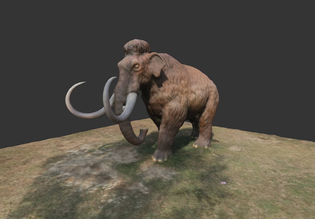
Photogrammetry is a technique that uses photographs to generate accurate measurements and precise 3D models of objects and terrains. It involves taking multiple overlapping images of an object or area from different angles and computing a 3D model based on the data contained in those images.
Applications
Photogrammetry has many applications such as architecture, engineering, surveying, and geology, among others.
Equipment
To capture images for photogrammetry, you will need a drone, a camera, and photogrammetry software. There’s a range of products available, so it’s essential to choose the right ones for your needs.
Process
Photogrammetry is done in three stages, capturing photos, processing, and rendering/visualization. The process can take hours to days, depending on the size of the area, the number of images, and the computer being used.
Challenges
Photogrammetry can face numerous challenges such as lighting, shadows, wind, and weather conditions.
Photogrammetry: A Revolutionary 3D Modelling Method
Revolutionize the way you create 3D models by using photogrammetry and drones. Discover the numerous benefits of this cutting-edge technique today.

Precision
Highly accurate 3D models with minimal errors or imperfections.

Efficiency
Faster 3D model creation with drones covering large areas quickly.

Creativity
Limitless possibilities to create custom 3D models for any object or structure.
Develop a 3D Model - Step-by-Step

Step 1: Plan
Choose the subject, define your project requirements, and plan the drone flight.

Step 2: Capture
Take overlapping photos of the subject from different angles. Make sure to capture both horizontal and vertical images.

Step 3: Process
Process the images into a 2D map and then convert that into a 3D model using photogrammetry software.
Challenges and Solutions in Photogrammetry for 3D Modeling
Challenge: Lighting and Shadows
Challenge: Windy Conditions
Solution: Optimize Lighting
Solution: Choose the Right Conditions
Use Cases for 3D Models Generated Through Photogrammetry

Land and Property Surveying
Photogrammetry can create high-quality terrain models that help environmentalists and civil engineers survey land before and after building to understand sloping, drainage patterns, and soil erosion.

Entertainment and Art Industries
3D models created through photogrammetry are used in video games, film, and the art industry to create realistic, accurate environments and characters.

Archaeology and Cultural Heritage
Photogrammetry is used in archaeology to document and preserve historic sites, artifacts, and cultural heritage.
Talk to us
Have any questions? We are always open to talk about your business, new projects, creative opportunities and how we can help you.
